Pakistan Meteorological Department
Thursday, 18 April, 2024 11:10 PM
| Date | Time (utc) | Region | Magnitude | Depth (km) | Latitude | Longitude | Mode | Map |
|---|---|---|---|---|---|---|---|---|
| 20/04/2018 | 11:40:05 | Afghanistan-Tajikistan Border Region | 4.4 | 158 | 37.21 N | 71.87 E | M | - |
| 20/04/2018 | 09:03:13 | Hindu Kush Region,Afghanistan | 3.5 | 10 | 35.39 N | 68.53 E | M | - |
| 20/04/2018 | 05:50:24 | Hindu Kush Region, Afghanistan | 2.6 | 175 | 36.73 N | 71.42 E | M | - |
| 20/04/2018 | 04:16:02 | Myanmar | 5.0 | 24 | 18.32N | 96.24E | A | - |
| 19/04/2018 | 23:59:54 | Tonga Islands Region | 5.7 | 10 | 22.76S | 174.54W | A | - |
| 19/04/2018 | 21:09:17 | Prince Edward Islands Region | 5.8 | 10 | 42.84 S | 42.24 E | A | - |
| 19/04/2018 | 11:38:22 | Near East Coast of Honshu, Japan | 5.6 | 10 | 40.20 N | 142.43 E | A | - |
| 19/04/2018 | 10:06:24 | Oaxaca, Mexico | 4.6 | 143 | 17.34 N | 95.02 W | A | - |
| 19/04/2018 | 06:34:50 | Southern Iran | 5.8 | 15 | 28.31N | 51.55E | M | - |
| 18/04/2018 | 20:15:12 | Hindu Kush Region,Afghanistan | 3.5 | 150 | 36.75 N | 72.19 E | M | - |
| 18/04/2018 | 13:07:24 | South Atlantic Ocean | 5.4 | 10 | 0.33 S | 6.88 W | A | - |
| 18/04/2018 | 09:25:47 | Banda Sea | 5.5 | 174 | 6.73 S | 129.82 E | A | - |
| 18/04/2018 | 07:06:52 | Ceram Sea, Indonesia | 5.4 | 21 | 3.61S | 131.41E | A | - |
| 18/04/2018 | 05:32:03 | South of Mariana Islands | 5.3 | 30 | 11.81N | 142.23E | A | - |
| 18/04/2018 | 05:31:19 | Southwestern Afghanistan | 3.8 | 35 | 32.59N | 63.61E | M | - |
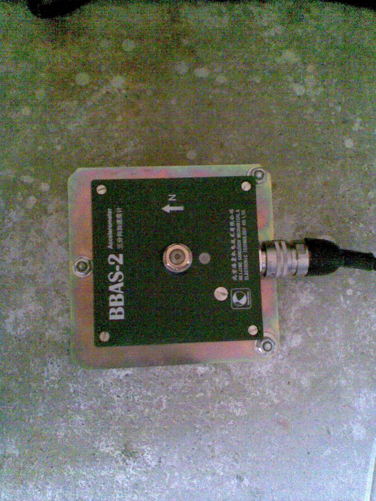
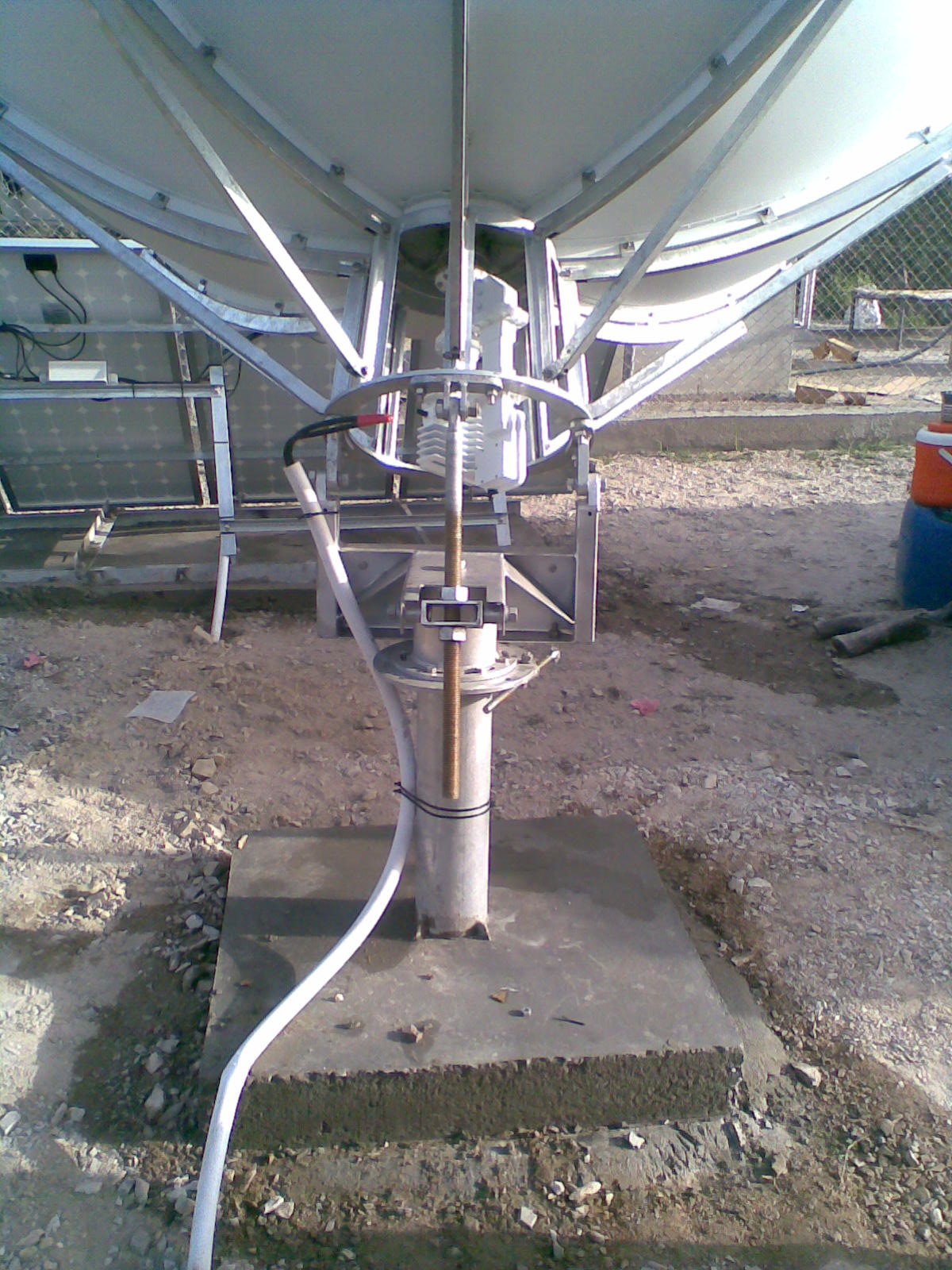
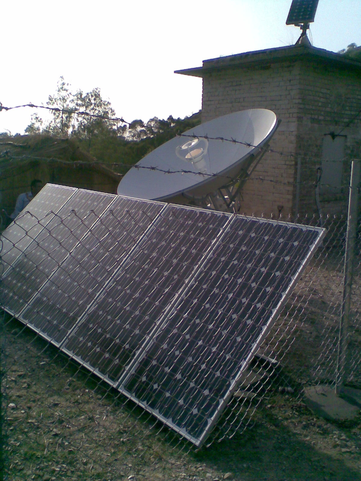
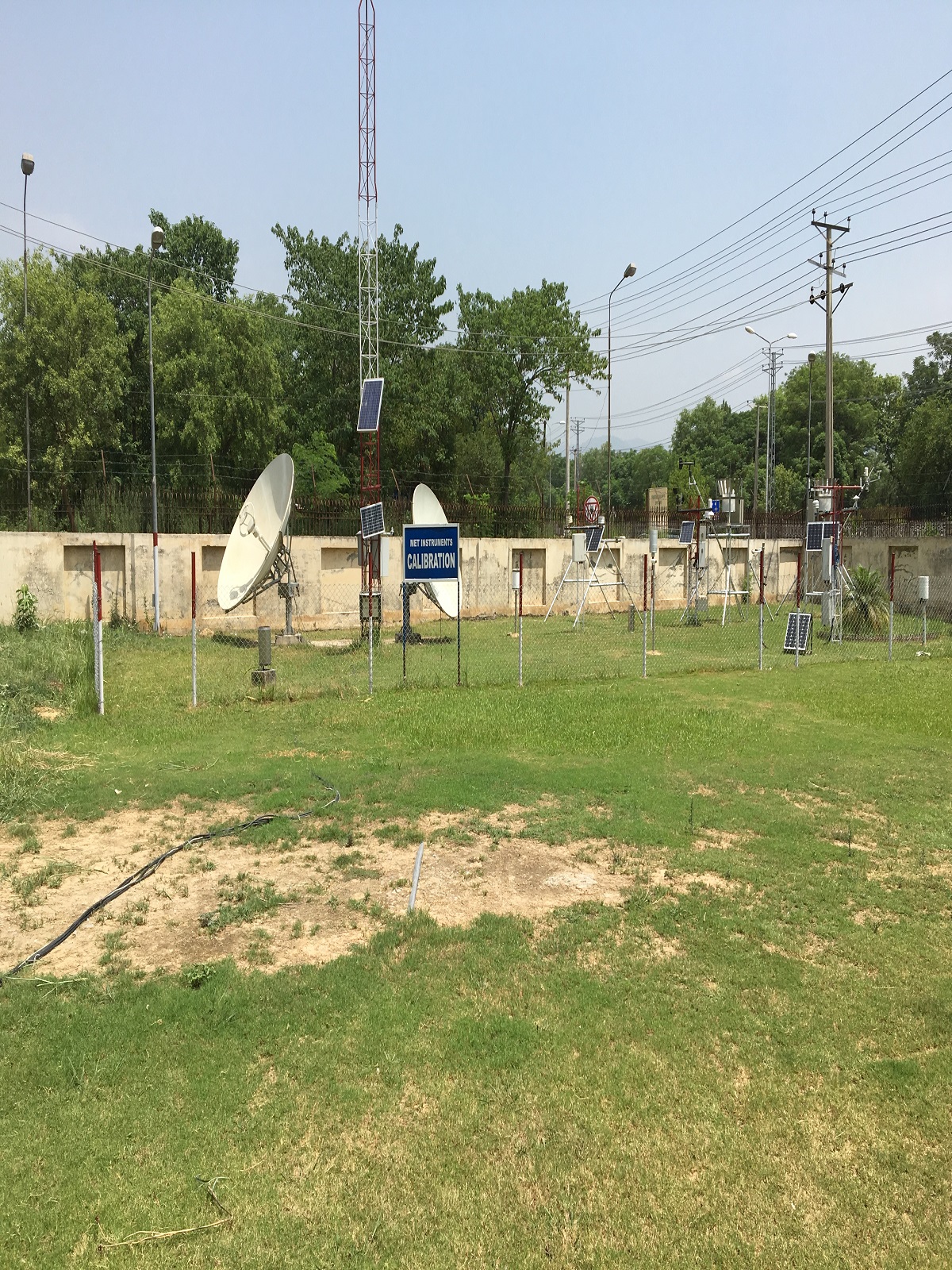
Pakistan Meteorological Department (PMD) holds the responsibility for seismic monitoring and tsunami early warning in Pakistan. It is the liability of the PMD to disseminate earthquake information to Government, non Government organization and to public after the occurrence of any event. The seismic monitoring technologies have been rapidly changed in the world. The seismic monitoring equipments have changed from analogue to digital technology. This enhanced the capability of the monitoring equipments.
PMD had been using paper recording equipments since 1954. The 2004 Indonesian earthquake of M 9.4 which generated disastrous Tsunami and subsequently Muzaffarabad Kashmir earthquake of M 7.6 were the wake up call not only for Pakistan but also for the whole world. During the past few years PMD has enhanced multifold its abilities to monitor seismic activity. Since 2005, PMD upgraded and replaced all analogue seismic equipment with state of the art technology.
Detect, identify and locate earthquakes and monitor seismic activities.
Give quick response to queries pertaining to earthquakes and seismology.
Exchange information pertaining to seismology with international agencies.
Provide assistance in Seismological studies and research in related fields.
© 2016-2023 National Seismic Monitoring Centre, Islamabad